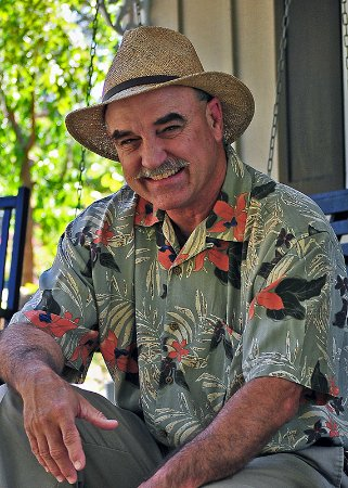
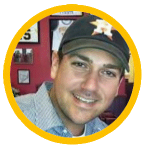
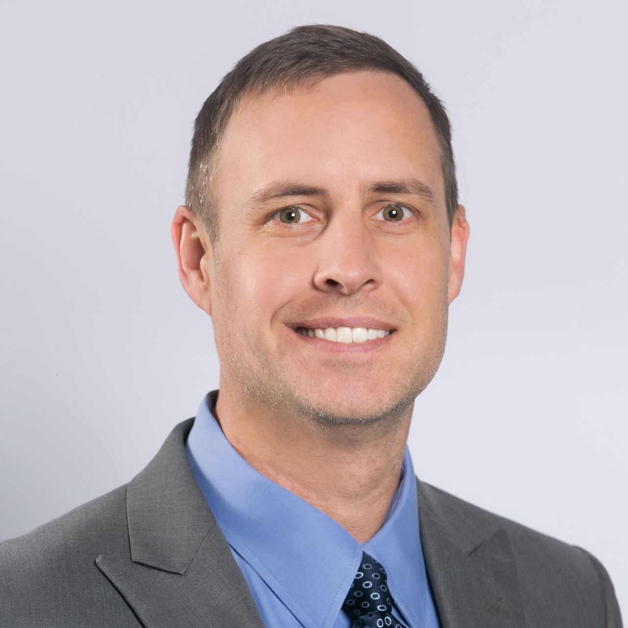
City of Ardmore, OK President President@scaug.org Since 2000 I have been the GIS Coordinator for the City of Ardmore, OK. During that time I have been involved in managing and overseeing every aspect of municipal mapping, focusing heavily on GIS Implementation and its integration into 911, Surveying, Photogrammetry, Emergency, and Asset Management. I currently serve as the appointed Municipal Representative for the Oklahoma State GI Council as well as several other leadership roles throughout my local, state, and regional GIS community. Regardless of whether you have a whole GIS department with staff and a large budget or you are the one person shop with only a strong desire to work and a big job ahead of you, my goal has and always will be, to ensure that SCAUG is there to help you. At the end of the day my desire is for you to feel educated, successful, welcome, and appreciated by SCAUG. Personally I welcome your ideas to continue building on what SCAUG offers to the GIS community in order to insure SCAUG continues to be your professional home base for the future. |
OK Office of Geographic Information Vice President Shellie Willoughby is the GIS Specialist for the Oklahoma Conservation Commission for which she has worked for the past 21 years. While working for the Oklahoma Conservation Commission she has been heavily involved in the coordination efforts of the Oklahoma GI Council as well as the Oklahoma Office of Geographic Information, where she currently serves as the Assistant State GIS Coordinator. Prior to working for the Conservation Commission, Shellie received a B.S. and M.S. degrees in Geography from Oklahoma State University As a member of SCAUG for 19 years Shellie has served on the SCAUG Board in various positions for the past 15 years as well as held multiple positions in the Oklahoma Chapter of SCAUG, where she currently serves as Chair. Shellie loves to travel with her family and has been to 47 of the 50 states. When not at work Shellie can be found enjoying the great outdoors with the two favorite men in her life, her husband, Richard, and her 10 year old son, Andrew. |
Carter County, OK Treasurer Treasurer@scaug.org James Allen graduated from East Central University in 2005 with a Degree in Cartography/Geography. James has been employed as the GIS Coordinator for Carter County, OK for 7 years, and he also serves as the IT Director and various other jobs for the county. He has been a member of SCAUG for 10 years and has served as the regional Treasurer since 2011. .jpg)
Anne Mackey, GISP Tarrant County, TX Executive Board Member at Large pastpresident@scaug.org Brenda Fennel Retired Conference Coordinator Coordinator@scaug.org I am honored to hold the position of Conference Coordinator for the South Central Arc User Group (SCAUG) and will serve the membership and Regional Board with dedication and passion for our profession. I am well known for the ability to help coordinate events, like the 2008 NOLA Conference, North & East Texas User Group meetings & local Main Street Events. I suggested the original Meet & Greet social that we now all enjoy at each Conference. I like to find interesting venues and activities for our varied group and would like your vote in 2020. Prior to my involvement in GIS, I was in the Food & Beverage Industry and owner a full service restaurant in Longview, TX. I have an Art, Communication & Leadership BLAS from Southeastern Oklahoma State University (SOSU) – Durant, OK, Freshman Leadership – Choctaw University (SOSU), & Associates of Art from Kilgore College. I am a GISP since 2008. I began as a civil & mechanical drafter using AutoCAD in the 1980s and transitioned the ESRI GIS software in 1996. Most recently I was invited to participate in the “ArcGIS Experience & Holistic Testing Event” at the ESRI Redlands, CA Campus, the developers from Beijing were there to guide us through the Beta2 EXB…WOW! What an adventure! My motto is …LIVE A GREAT STORY…did I ever tell you about the time me, Laura Lee, Anne & JACK were on the elevator in Addison….vote for me and I just might at the next Conference! Thanks, your humble future Conference Coordinator Elect…the mapladyBK
Oklahoma Corporation Commission Oklahoma Representative Oklahoma@scaug.org "Everything is related to everything else. But near things are more related than distant things.” When one of my professors told us Tobler’s first law of geography in college, I knew I’d found the right profession. I live to find patterns and show them to others. When I was 12 I read the book Life by the Numbers that talked about fractals in nature, and it was intoxicating to me. It taught me that patterns can be observed, noted, and used to make predictions in the natural world. That is, patterns bring order to what seems like chaos. So, this analysis of patterns became a constant, underlying hum in my thoughts throughout my life. Naturally, this led me to geography in college—the study of patterns and arrangements of places and people. Before graduation, I had begun working for the Oklahoma Corporation Commission as a GIS intern, and today I am the Project Coordinator for the OCC Brownfield Program, and I manage the Oklahoma Historical Aerial Digitization Project. GIS and cartography, especially the Story Map capabilities of ArcGIS Online, are the perfect instruments for displaying patterns in beautiful ways, and I love them for that. I am happy to be part of a group that appreciates them as I do. In my free time, I like to continue my pattern-seeking by exploring the US and the world, and painting and writing to express what I find. City of Port Arthur, TX South Texas Representative Derrick Holland is a 1989 Honors Graduate of Lamar University's Institute of Technology Department, receiving an Associates of Applied Science Degree in Computer Aided Design Drafting. Derrick began his drafting career with a local engineering company and Texaco Research and Development's Environmental Research Division. In 1993 Derrick began his employment with the City of Port Arthur's Public Works Engineering Division as a Senior Engineering Technician. In June of 2013, the City of Port Arthur began to implement its newly formed GIS Division where he was awarded the position of GIS Coordinator.
Desoto County, MS Mississippi Representative Scott Trapolino attended Delta State University in Cleveland, Mississippi (MS), where he earned Bachelor’s degrees in Geography and Political Science and a certificate in Geospatial Technologies. At Delta State University, he worked at the Center for Interdisciplinary Geospatial Information Technologies as Assistant Project Manager/Recruiter/ Instructor, where he assisted in the compilation of Geospatial Needs Assessments and Implementation Plans for Three Rivers Planning and Development District, Tunica County Emergency Management Agency, and the Yazoo-Mississippi Delta Levee Board. In addition, he worked with first responders and emergency management teams in the creation of USNG map books during US hurricanes that made landfall between 2008 and 2010. In 2010, he was appointed president of the GITA Gulf South Chapter and currently is a Board Member for the Memphis Area Geographical Information Council and Mississippi Association for Spatial Technologies. At present he works for DeSoto County, MS, as the Senior GIS Analyst and represents the State of MS as a GIS Coordinator for the Statewide Technical Advanced Rescue Team and works with the Technical Users Group for the Mississippi Coordination Council for Remote Sensing and GIS. Also, he is Principal and Project Coordinator for Everything is Somewhere, LLC. Currently he is attempting to fill the shoes of the past Mississippi SCAUG Representative (Lauralee Gann) and is looking forward to serving Mississippi SCAUG members and bringing GIS and SCAUG to the forefront in assisting Mississippi Geospatial Organizations. | Bill Moss Texarkana Water Utilities Secretary Secretary@scaug.org I have been involved with GIS since 1993, where I was introduced to ESRI ArcView while participating in a college environmental project. In 1994 I was hired by the Ark-Tex Council of Governments as a Transportation GIS Intern working with Arc/Info which transitioned to a fulltime employment in 1995 and over time became the IT Manager. I was always disappointed that I had been pulled from GIS to serve in different capacity in the agency. In 2014 I once again had the opportunity to return to GIS with the Texarkana Water Utilities GIS Dept. Myself and my coworker over the last three years have worked exhaustively to implement an enterprise GIS platform. We began to transition data from location only to intelligent data, and from data silos to GIS-enabled data benefitting all departments across both independent cities. Our vision is to move all the municipal data collection sources and repositories to GIS-driven platforms, enabling GIS to facilitate as a foundation for intelligent data architecture, truly envisioning and applying the Science of Where. I have been a member of South Central Arc User Group since 2018. My first SCAUG conference was in San Antonio and I was blown away by the practical and more importantly the applicable knowledge I was to put into practice. SCAUG offers the networking opportunities and comradery for members, which is truly the life force of this organization. 
Bill Hodge Retiring Executive Director GISCI Conference Coordinator Elect Coordinatorelect@scaug.org Bill Hodge GISP has been the Executive Director of GISCI since 2013. He is retiring from this position and remains only to assist with the transition to the new Ex Dir. Obtaining his GISP in 2010, he has had extensive GIS experience in all levels of government, from the Federal to the municipal level. He obtained a GIS Certificate from Penn State's online program in 2010 and did subsequent additioinal work with them towards an uncompleted MGIS degree. He considers himself a ranch kid from West Texas, living with his current wife and High School sweetheart in their hometown of Big Lake, where he is just known as Helen & Hubert's oldest boy. Bill is or has been a member of AAG, ASPRS, URISA, APWA, IRWA, & SCAUG.
City of Dallas, TX Lieutenant Ronald Vaughn, has been a Lieutenant for the Dallas Fire rescue for 24 years. He has served as the departments GIS Lieutenant for Four years. His duties include providing Mapping Solutions for resource management, Pre- Incident Planning, Data Analysis and Statistical Information for Fire Department personnel. He has been an advocate for GIS by speaking at various Conferences. During his tenure at Dallas Fire Rescue he has won the departments Paramedic of the Year award and the departments Staff Officer of the Year Award. Lieutenant Vaughn has an Associate Arts Degree in Fire Technology from Trinity Valley, Bachelor of Arts in Education from Lyon College.
Tidal Basin Group Louisiana Representative As the Louisiana Representative for SCAUG, John's goal is to strengthen the bridge between private and public sector GIS in Louisiana and work to get more students involved with SCAUG as the next generation of GIS professionals. John is a 2014 graduate of the Geography & Anthropology program at Louisiana State University (LSU) and loves geography. His academic background is in human & cultural geography but John always kept a foot in the professional GIS world from interning with engineering companies to working through college as a GIS intern. John is the GIS Manager for Tidal Basin Group. |

 Charles E. Brady III, GISP
 Shellie Willoughby, GISP
 James Allen
 Madeline Dillner
 Scott Trapolino, GISP
 Lt. Ronald Vaughn
 John W. McEwen, PhD, GISP