WELCOME TO THE mississippi CHAPTER OF SCAUG
|
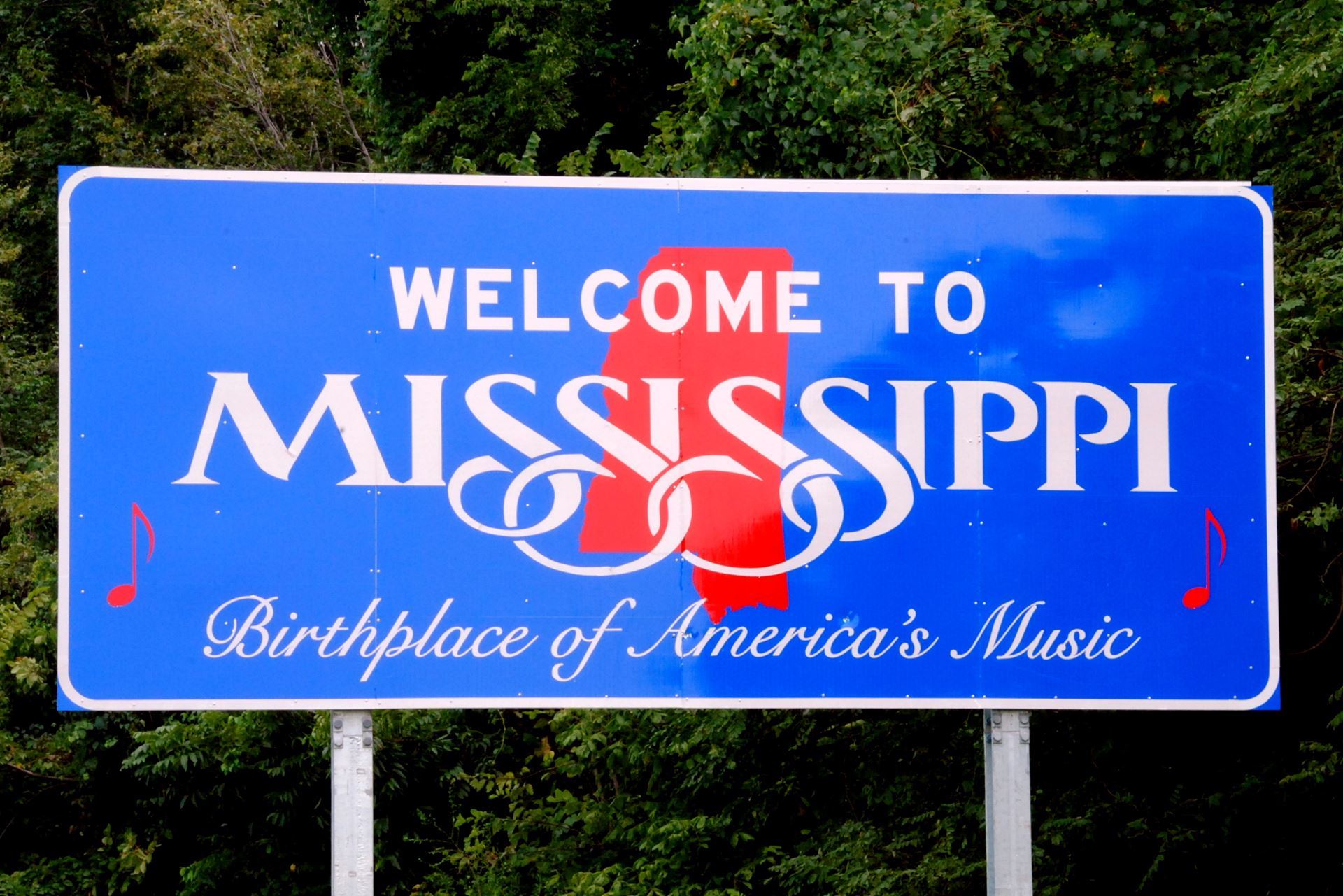 Anyone is welcomed to forward information regarding GIS activities within the State of Mississippi and SCAUG will gladly post information to
There are several great opportunities coming up to connect, learn, collaborate, and strengthen our GIS community across Mississippi. Whether you're a GIS professional, student, educator, government partner, or simply interested in geospatial technology, we hope to see you at one—or all—of these upcoming events. Stay connected with Mississippi SCAUG for additional details, registration information, and announcements.
|
New Resource for the Mississippi GIS Community! MS SCAUG is pleased to share a great resource provided by Michelle Fischer, National Map Liaison for Alabama, Arkansas, Louisiana, Mississippi, Oklahoma, and Texas with the USGS National Geospatial Program. The USGS 3DEP as Art Series takes high-resolution elevation data from the 3D Elevation Program (3DEP) and transforms it into striking visual representations of our landscape—revealing ridges, valleys, slopes, peaks, and drainage patterns that aren't always obvious from traditional maps. But this is much more than art. The underlying 3DEP elevation data is an important resource for Mississippi's GIS community, supporting topographic mapping, flood and hazard assessment, infrastructure planning, hydrologic modeling, natural resource management, engineering, and scientific research. And be sure to check out the Mississippi 3DEP as Art map! Free maps are available for Mississippi and every state, as well as Washington, DC, Puerto Rico, and the conterminous United States. Explore and download the USGS 3DEP as Art Series: Thank you, Michelle Fischer and USGS, for sharing this valuable resource with the Mississippi GIS community! |

 Mark Your Calendars, Mississippi GIS Community!
Thank you for helping us make this year's conference a success! |  Thank You for Making the 2026 MSSCAUG & MAST Utility GIS Meeting a Success! Thank You for Making the 2026 MSSCAUG & MAST Utility GIS Meeting a Success!
On June 12, GIS professionals, utility leaders, and industry partners from across Mississippi came together to share ideas, explore innovative technologies, and discuss how GIS is transforming utility infrastructure management. Thank you to all attendees, presenters, sponsors, and volunteers who helped make this event a success. Together, we are advancing the use of GIS, asset management, and digital solutions to build smarter, more connected communities. MSSCAUG & MAST Combined Meeting Presentations Click the link to see the full presentations
|
.png) A huge thank you to our sponsors for supporting the 2026 MSSCAUG Conference! Your partnership and commitment to the GIS community help make our events possible. We truly appreciate your investment in advancing geospatial education, collaboration, and professional development across Mississippi and the South Central region.
A huge thank you to our sponsors for supporting the 2026 MSSCAUG Conference! Your partnership and commitment to the GIS community help make our events possible. We truly appreciate your investment in advancing geospatial education, collaboration, and professional development across Mississippi and the South Central region.
Contact SCAUG at : Webmaster@scaug.org | South Central Arc Users Group P.O. Box 96 Ardmore, OK 73402 |